Regeln & Schonzeiten
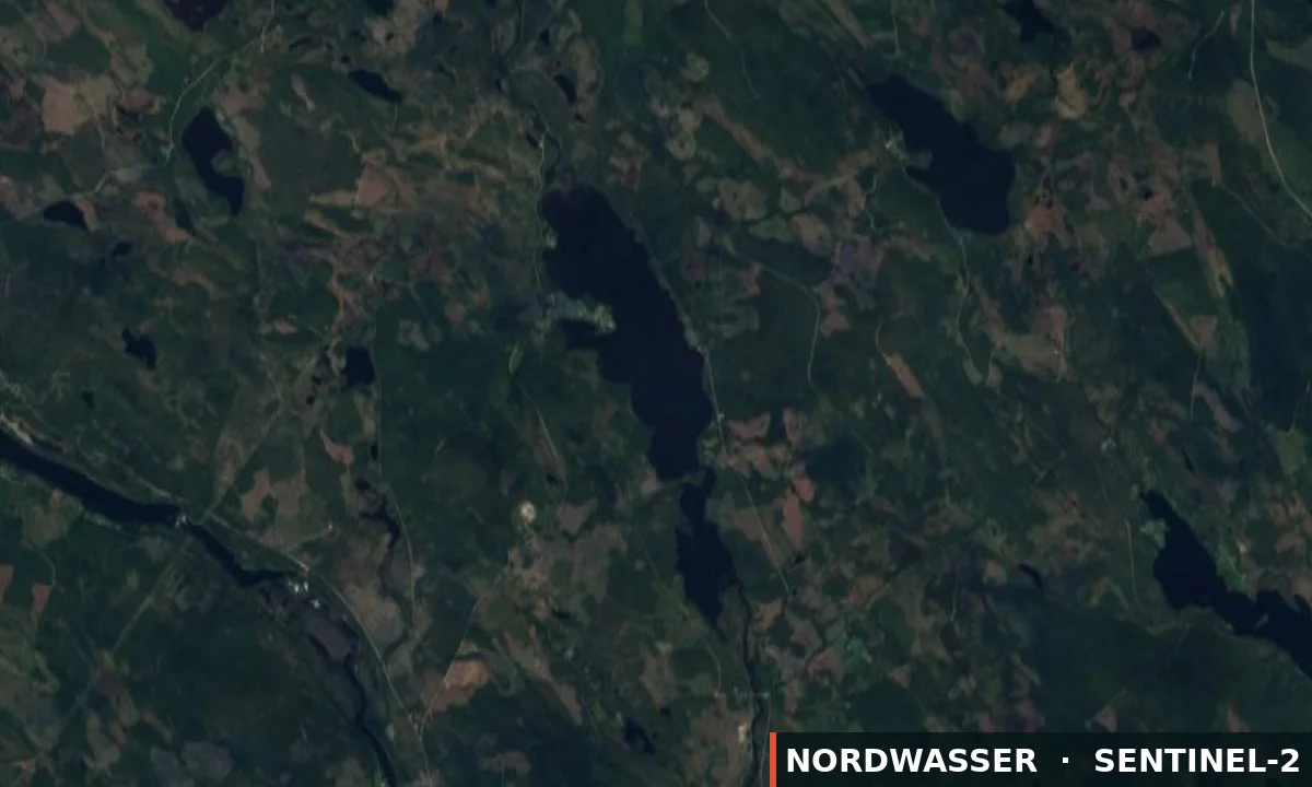
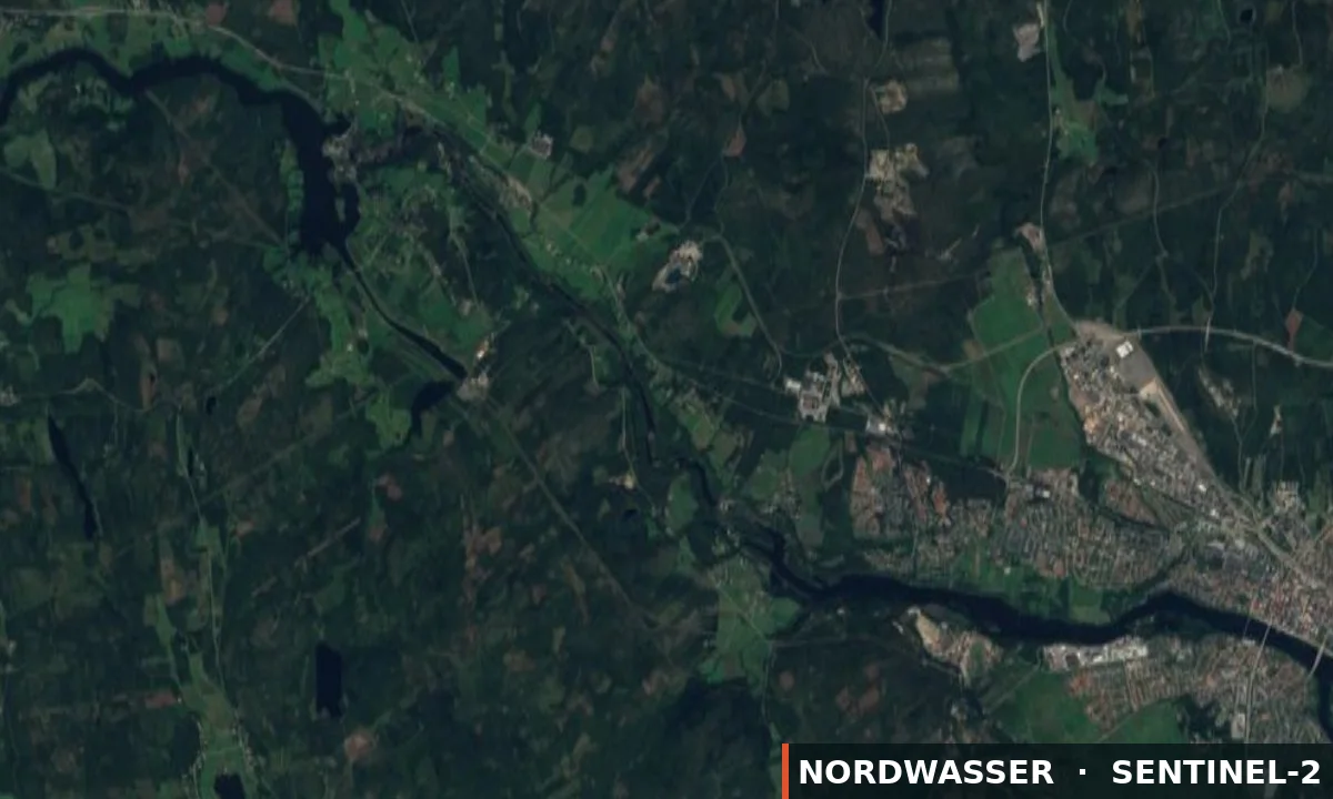
- All fishing upstream of the Sörfors Bridge is prohibited.
- All fishing downstream of the power line (including throwing or letting the bait float downstream) is prohibited.
- Salmon: Pardoned, Prohibition to find out from September 15.
- Grayling: Peaceful, Prohibition to find out from September 1 Other species When catching perch, pike and other species, common sense applies.
- Minimum dimensions 50 cm - No upper maximum limit.
- Fish species Trout: All wild trout with an intact adipose fin must be returned to the water with the utmost care.
Alle Regeln anzeigen
Umeälvens Forsfiskeområde - Torrfåran 15/9 - 30/9 The following applies to the stretch "Torrfåran", Exempt fishing September 15 to September 30 NOTE: Only fin-clipped trout may be kept. The fishing route The fishing area is delimited by the Sörfors Bridge as the upstream boundary. All fishing upstream of the Sörfors Bridge is prohibited. The fishing area is delimited by the power line above the Baggböleforsen rapids as the downstream boundary. All fishing downstream of the power line (including throwing or letting the bait float downstream) is prohibited. Fishing times 24-hour pass: Fishing permitted between September 15 and September 30. Fishing practices and methods - Only fishing with hand gear is allowed. Maximum one rod per person and card. - Only trout with adipose fins trimmed may be kept. - Only fishing with barbless hooks is permitted. - Only solid nylon line is permitted for spinning fishing. For fly fishing, it is permitted to use a line other than solid nylon line. - Rotational fishing applies. Fishing reporting Mandatory sighting! To increase knowledge about fishing and possible catches, everyone who fishes on the route must report their fishing via the link in the fishing card. Fishing license for children/youth Children up to 12 years of age fish for free when accompanied by a guardian who must hold a valid fishing license. Recommendations - We recommend the environmental sink over the lead sink to protect the environment. - Apply so-called rotational fishing and always move downstream to make room for more fishermen. - Respect closed roads, agriculture and livestock. Fish species Trout: All wild trout with an intact adipose fin must be returned to the water with the utmost care. Minimum dimensions 50 cm - No upper maximum limit. You are allowed to keep a maximum of 1 farmed trout per fisherman per day. Salmon: Pardoned, Prohibition to find out from September 15. Grayling: Peaceful, Prohibition to find out from September 1 Other species When catching perch, pike and other species, common sense applies. Catch restrictions Mandatory reporting. NOTE IMPORTANT!!! You are required to report your fishing license regardless of whether you have caught fish or not. Other information Fishing ban If you suspect poaching, notify Securitas .
Eine Übersetzung liegt noch nicht vor. Angezeigt wird die geprüfte Fassung auf EN.
Stand: 18.09.2026 · Quelle: iFiske