Rules & closed seasons
Show all rules
Binböletjärns FVOF Generally A fishing license allows fishing with one rod. Catch restrictions Maximum allowed catch per card is 3 fish.
Checked: 19.09.2026 · Source: iFiske
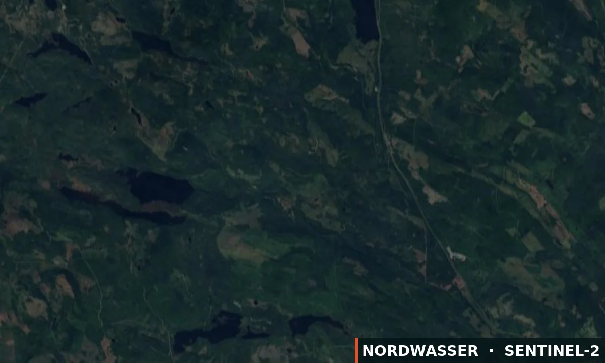
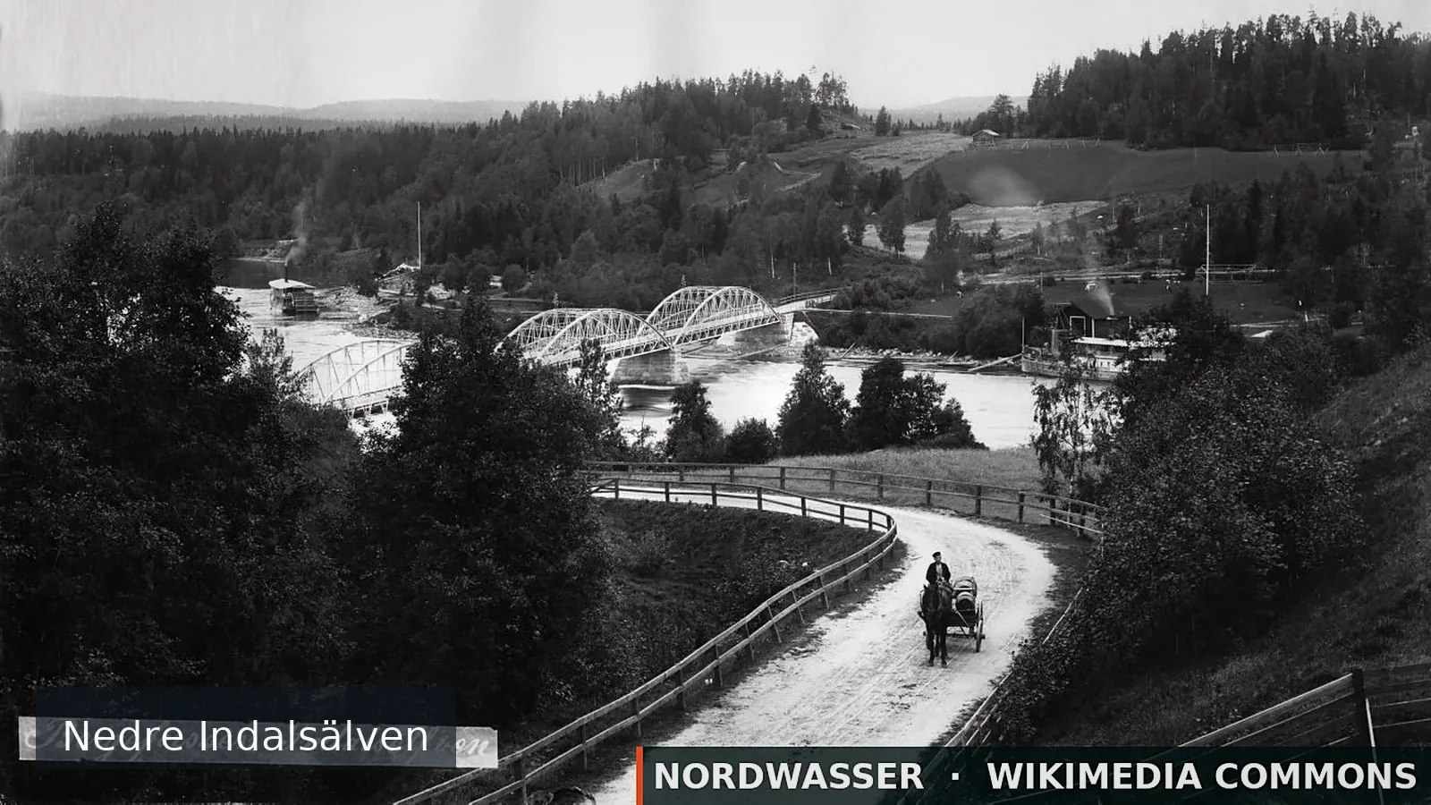
Binböletjärn is a fishing area in Västernorrlands län. Its verified source description, position and current rules link directly to iFiske.
62.923° N · 18.183° E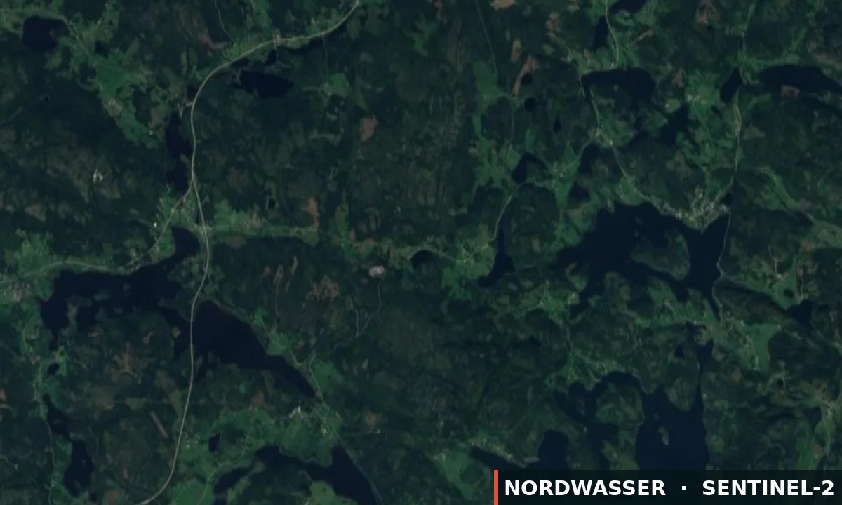
Binböletjärns FVOF Generally A fishing license allows fishing with one rod. Catch restrictions Maximum allowed catch per card is 3 fish.
Checked: 19.09.2026 · Source: iFiske
Links lead to the published source or directly to the provider. Availability is confirmed only after travel dates are selected.
No matching results found.
Campsite
⛺ Tents
This place is recorded in the linked geodata source. Check opening and overnight rules before travelling.
Open source dataMotorhome and caravan site
⛺ Caravans · Motorhomes
This place is recorded in the linked geodata source. Check opening and overnight rules before travelling.
Open source dataCampsite
⛺ Tents
This place is recorded in the linked geodata source. Check opening and overnight rules before travelling.
Open source dataMotorhome parking
⛺ Motorhomes
This place is recorded in the linked geodata source. Check opening and overnight rules before travelling.
Open source dataCampsite
⛺ Tents
This place is recorded in the linked geodata source. Check opening and overnight rules before travelling.
Open source dataCampsite
⛺ Tents
This place is recorded in the linked geodata source. Check opening and overnight rules before travelling.
Open source dataCampsite
⛺ Tents
This place is recorded in the linked geodata source. Check opening and overnight rules before travelling.
Open source dataCampsite
⛺ Tents
This place is recorded in the linked geodata source. Check opening and overnight rules before travelling.
Open source dataCampsite
⛺ Tents
This place is recorded in the linked geodata source. Check opening and overnight rules before travelling.
Open source data