Västerbottens län · Sweden

Jämteböle Stärkesmark Tväråns

Jämteböle Stärkesmark Tväråns is a fishing area in Västerbottens län. Its verified source description, position and current rules link directly to iFiske.

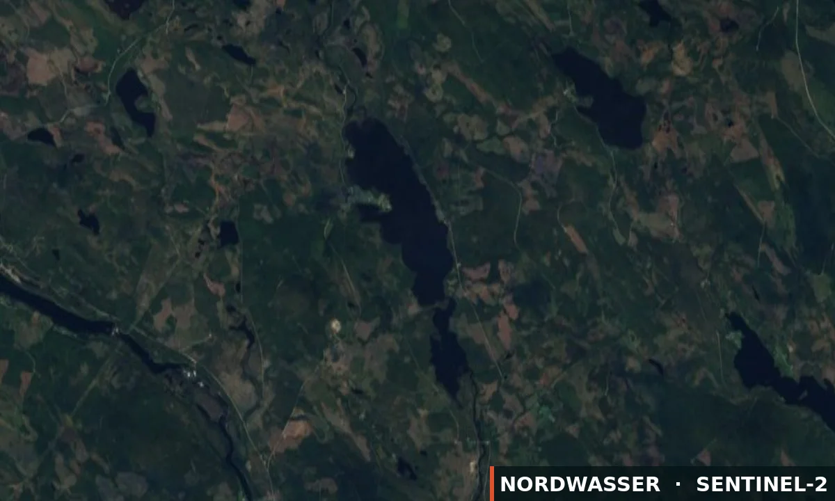
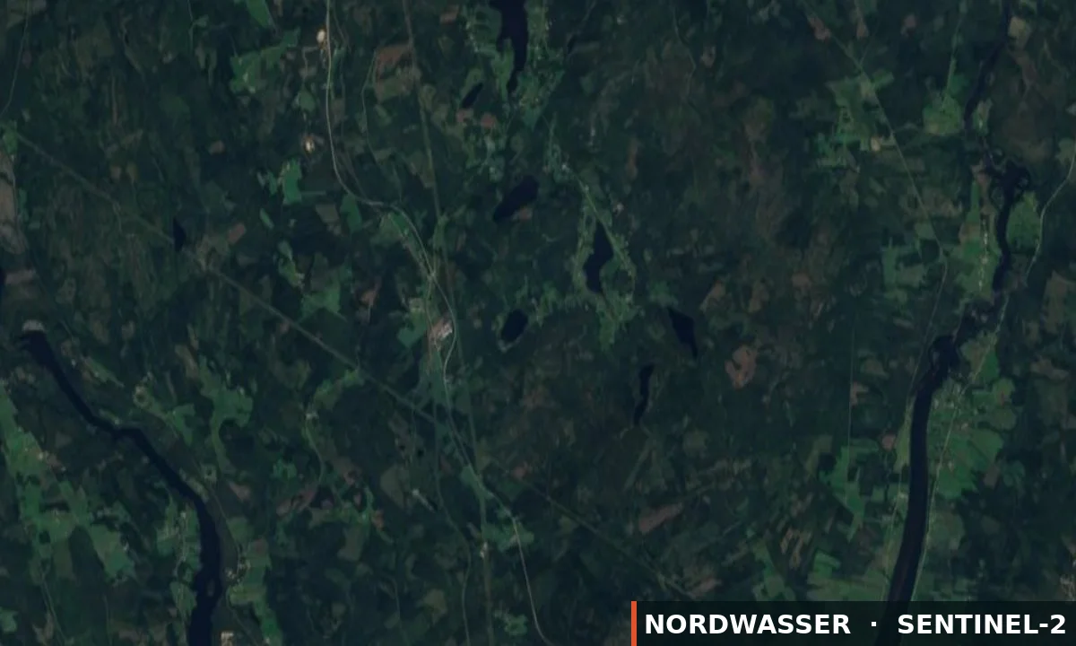
63.991° N · 19.759° E
Official information & permit Google Maps Depth map (Genesis)
Water type
River
Permit
Local fishing permit
Price from
50,00 SEK
Boat
No confirmed boat option
km²
0.14
Rules & closed seasons

Rules & closed seasons

⚠️ Key rules at a glance
  • Tvärån - Fishing ban for grayling during the period 15/4 - 31/5 - Fishing ban for trout during the period 15/9 - 31/10 - Minimum size for grayling is 35 cm - Max 1 grayling per day and person. - Max 1 trout per day and person.
  • We strongly recommend that all trout be released, so-called catch and release.
Show all rules

Jämteböle Stärkesmark Tväråns FVOF Generally We have four different fishing licenses 1. The lakes - fishing in 8 lakes with a fee of 50 SEK/day or 300 SEK/year. 2. Långtjärn - put-and-take fishing with a fee of 150 SEK/day, 3. Tvärån - fishing in running water with a fee of 100 SEK/day or 400 SEK/year. 4. Fishing rights holders - can purchase an annual pass for 300 SEK which is valid in all waters, but not in Långtjärn during June - August. Annual passes are valid for the entire family. Young people up to the age of 16 fish for free in the lakes and Tvärån, guardians are responsible for ensuring that laws and regulations are complied with. In Långtjärn, children and young people fish for free together with a guardian who has purchased a valid card and within the card's quota. Catch restrictions The lakes - Fishing right holders are allowed to use fixed gear. - Fishing with three fishing rods is included. Long iron - Only three fish per person and card. Tvärån - Fishing ban for grayling during the period 15/4 - 31/5 - Fishing ban for trout during the period 15/9 - 31/10 - Minimum size for grayling is 35 cm - Max 1 grayling per day and person. - Max 1 trout per day and person. We strongly recommend that all trout be released, so-called catch and release.

Checked: 30.08.2026 · Source: iFiske

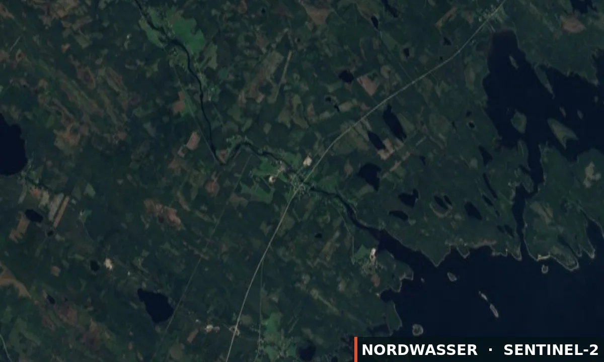
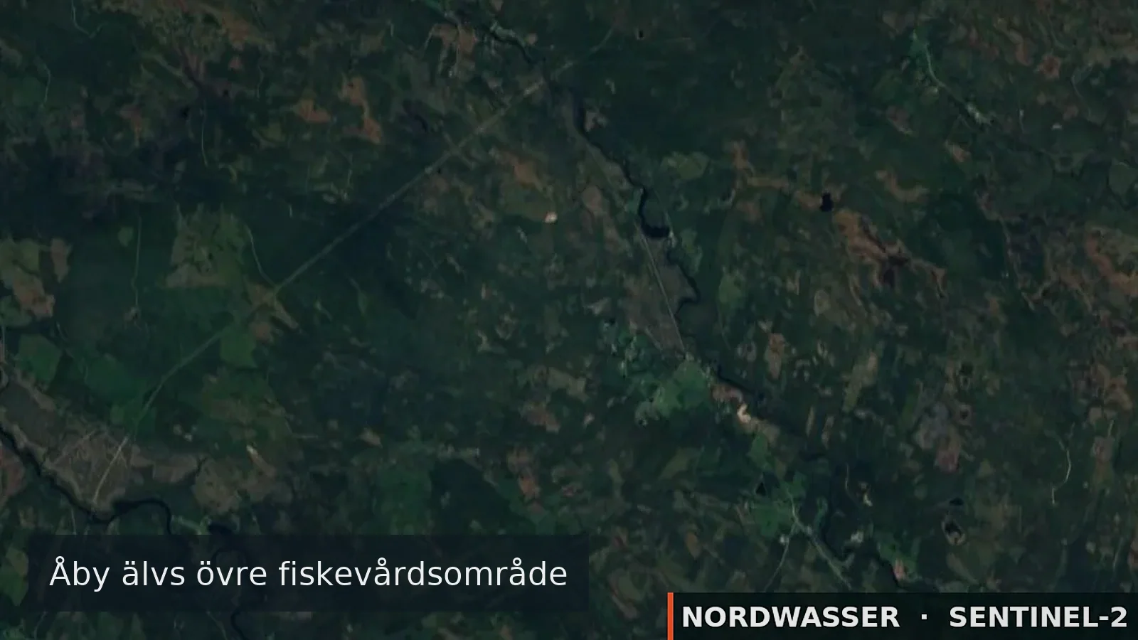
MapJämteböle Stärkesmark Tväråns
The map position is for orientation. The official source defines binding boundaries.
Source

Stays & fishing services near Jämteböle Stärkesmark Tväråns

Links lead to the published source or directly to the provider. Availability is confirmed only after travel dates are selected.

vannasbadcamping.se

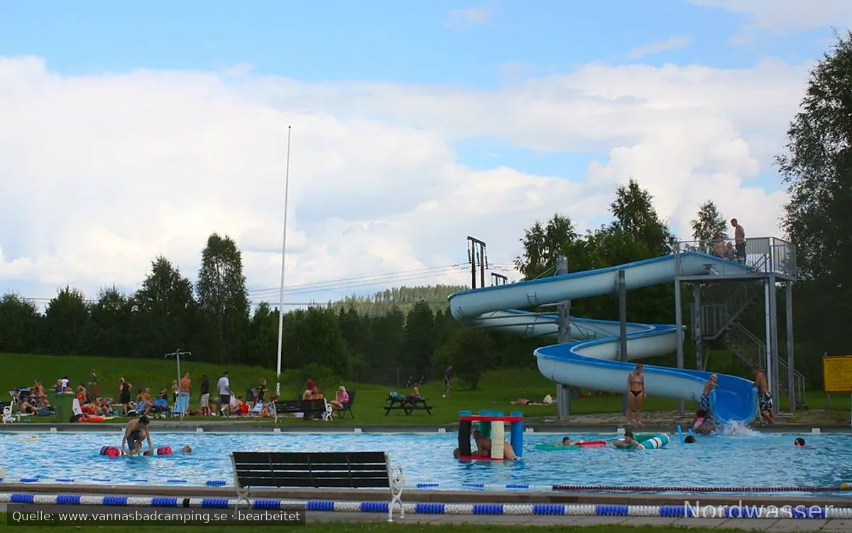
Vännäs Bad och Camping

Campsite · ★ 8.0/10 (39)

⛺ Tents

SaunaRestaurantWi-FiPlaygroundPets allowedPower hookup
8,4 km from the water Source checked: 05.09.2026

Nordwasser has no live availability. Check dates and the final price on the official website.

Open official website
OpenStreetMap

Tallbacken

Campsite

9,2 km from the water Source checked: 05.09.2026

This place is recorded in the linked geodata source. Check opening and overnight rules before travelling.

Open source data
OpenStreetMap

Wohnmobil-Stellplatz

Motorhome and caravan site

⛺ Caravans · Motorhomes

9,6 km from the water Source checked: 05.09.2026

This place is recorded in the linked geodata source. Check opening and overnight rules before travelling.

Open source data
OpenStreetMap

Wohnmobil-Stellplatz

Motorhome and caravan site

⛺ Caravans · Motorhomes

10,4 km from the water Source checked: 05.09.2026

This place is recorded in the linked geodata source. Check opening and overnight rules before travelling.

Open source data
ramsele.net

Almagrundet

Motorhome and caravan site

⛺ Caravans · Motorhomes

12,1 km from the water Source checked: 05.09.2026

Nordwasser has no live availability. Check dates and the final price on the official website.

Open official website
OpenStreetMap

Ställplats Tavelsjö

Motorhome and caravan site

⛺ Caravans · Motorhomes

15,4 km from the water Source checked: 05.09.2026

This place is recorded in the linked geodata source. Check opening and overnight rules before travelling.

Open source data
OpenStreetMap

Wohnmobil-Stellplatz

Motorhome and caravan site

⛺ Caravans · Motorhomes

18,0 km from the water Source checked: 05.09.2026

This place is recorded in the linked geodata source. Check opening and overnight rules before travelling.

Open source data
vindelnscamping.se

Vindelns Camping

Campsite

⛺ Tents · Caravans

🎣 Angling on site🎣 Permits on site
24,4 km from the water Source checked: 05.09.2026

Nordwasser has no live availability. Check dates and the final price on the official website.

Open official website
OpenStreetMap

Camping

Campsite

⛺ Tents

26,9 km from the water Source checked: 05.09.2026

This place is recorded in the linked geodata source. Check opening and overnight rules before travelling.

Open source data
agnasstugby.se

Agnäs Stugby

Campsite

⛺ Tents

29,0 km from the water Source checked: 05.09.2026

Nordwasser has no live availability. Check dates and the final price on the official website.

Open official website
Description from the source
Show the full source description

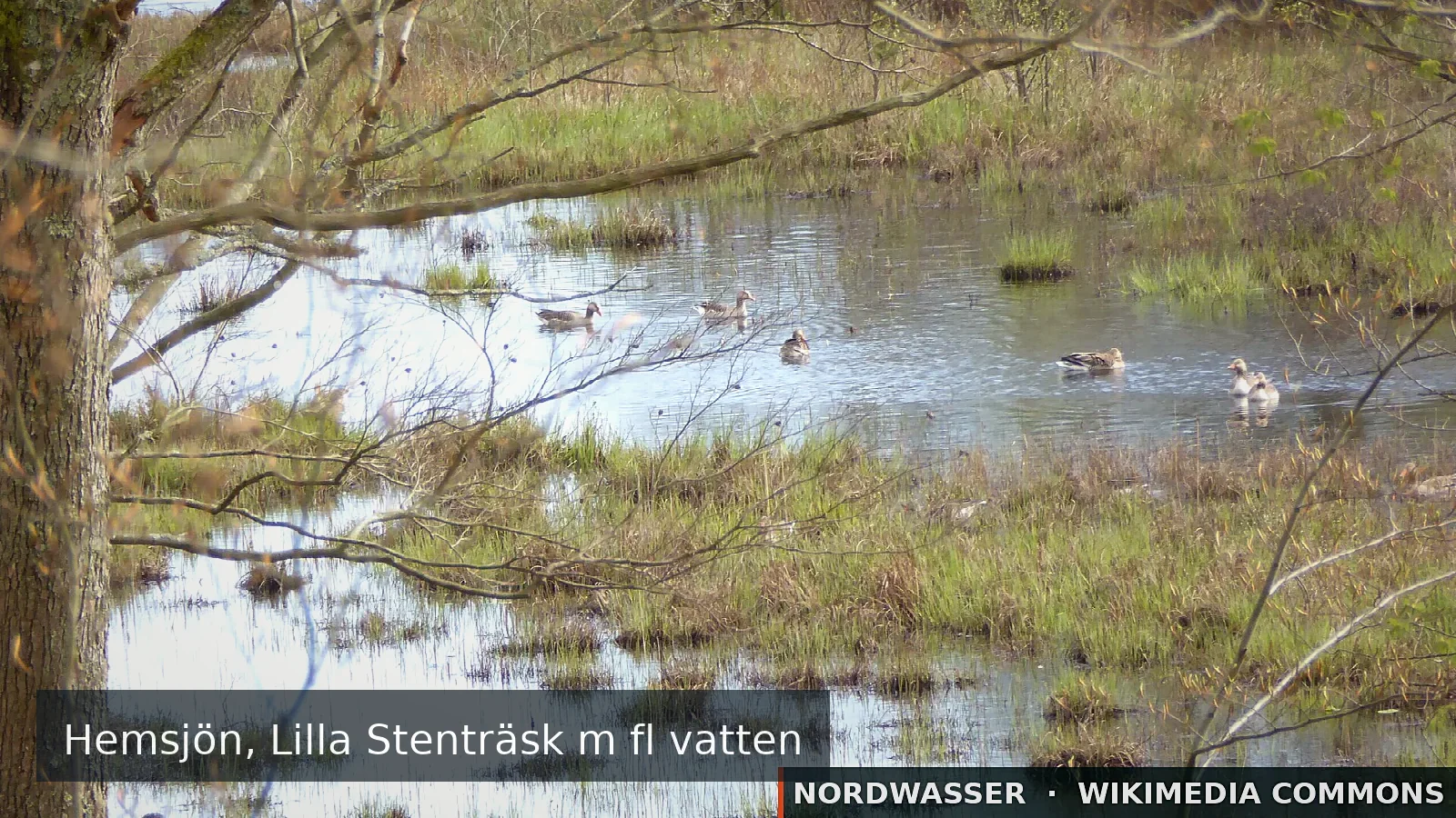
Our fishery conservation area offers fishing in eight lakes, a wild river and a put-and-take water.Our fishery conservation area is, by number of waters, the largest within Vännäs municipality. The ar& ... Our fishery conservation area is, by number of waters, the largest within Vännäs municipality. The area is located on both sides of the E12 towards Lycksele, approximately 8 km from Vännäs. Our fishery conservation area offers fishing in eight lakes, a wild river and a put-and-take water.The fishery conservation area includes eight lakes containing mainly perch and pike, a wild river, Tvärån, with grayling and trout, and Långtjärn, our put-and-take water with stocked rainbow salmon.Barbecue huts are available in Långtjärn, Jämteböle and Stärkesmark.An accessible jetty is available in Långtjärn.Boats can be borrowed in Jämteböle and Stärkesmark.We have four different fishing permits Lakes - fishing in 8 lakes for a fee of 50kr/day or alternatively 300kr/year. Långtjärn - put-and-take fishing for a fee of 150kr/day. Tvärån - fishing in running water for a fee of 100kr/day or alternatively 400kr/year. Fishing-rights owners - may obtain an annual permit for 300kr valid in all waters, but not in Långtjärn during June to August.BusjönBusjön is 14 ha in size and 10.2 m deep, with no buildings and no road.It lies south of the southern end of Jämtebölesjön.The shores are partly marshy and forested.There is potential for catching large perch.Take the E12 to the Jämteböle exit; after approximately 4 km, turn right onto a road marked "Linné-vägen"; after approximately 200 m, a fishing path is on the right, with a walk of approximately 1 km. Boat recommended.FrängsjönFrängsjön is 5.5 m deep and 7 ha in size. It lies just west of the southern part of Stärkesmarksjön. It drains through a stream into Kvarnbäcken and Välvsjön. The shores are brushy and marshy. The lake contains perch and pike.JämtebölesjönJämtebölesjön is 28 ha and lies in the eastern part of the area, 3 km from Tväråbäck. Maximum depth is 6 m. The lake is a lowland lake with abundant vegetation. Agricultural land dominates, and buildings and a road surround the entire lake. The lake contains rudd, perch and pike. Birdlife is abundant, and a bird tower has been built at the southern end of the lake. There is a barbecue area on the eastern side of the lake and a boat can be borrowed while fishing.LillsjönLillsjön lies in the north-eastern part of the fishing area. It is 17 ha in size with a maximum depth of 6.7 m. It is surrounded by deciduous and coniferous forest except at the southern part of the lake, where agricultural land and some buildings are present. A road leads around almost the entire lake. Perch dominate.LångtjärnLångtjärn lies in the southern part of the area and is used as a "put-and-take" water. The tarn is one hectare in size and has a maximum depth of 11 m. Inflow occurs through a cold spring on the lake bed. A road leads from the E12, signposted from the southern entrance to Tväråbäck.There is a barbecue hut, toilet and accessible jetty at the tarn.Every spring, catch-ready rainbow trout (from 0.8 kg) are stocked.Opening fishing takes place at the beginning of June and is announced in the local newspapers.A path to Tvärån (200m) provides the opportunity to fish for grayling and trout.Snålltjärn​​​​​​​Snålltjärn is a deep lake, 12.4 m, and 15 ha in size. Inflow occurs through a cold spring on the lake bed. The outlet, Snåltjärnsbäcken, flows out in the southern part of the lake. The surrounding area consists of forest and agricultural land. Some holiday homes are located in the eastern part of the lake, where the road also runs. The vegetation is dominated by horsetail. The lake contains perch and pike. A bathing area with jetties and changing huts is available.Stärkesmarksjön​​​​​​​Stärkesmarksjön is the largest of the area's lakes by surface area, 82 ha with a maximum depth of 8.4 m. The largest inflow is Torbergsbäcken, which flows into the northern part of the lake. The lake drains through Kvarnbäcken to Välvsjön and onwards to Tvärån. The vegetation mainly consists of reeds, horsetail and pondweed. The surroundings consist of agricultural land except in the north-eastern part. Permanent buildings and holiday homes surround the entire lake. A road also runs around the lake, making it easily accessible.The lake mainly contains perch, rudd and pike.TvärånTvärån is a wild river winding through the entire fishery conservation area.The river's character consists largely of calm and slow-flowing water with deep outside bends, but also some rapids and small pools.The river is fairly difficult to fish because of the dense vegetation and the river's winding bends with steep slopes down to the water. The beaver also works hard felling trees along the banks, which can make a walk along the river difficult. But the nature is wild and impressive, and on a balmy summer evening you may also be lucky enough to see delicate danica mayflies dancing over the surface and bringing the trout out of their hiding places.Below the bridge in Orrböle there is plenty of grayling, while trout dominate above the bridge.The fish stocks in the river are sensitive because reproductive opportunities are limited and food availability is poor. Most fish caught in Tvärån are relatively small and do not reach the minimum size. We therefore recommend barbless hooks or hooks with the barb pinched down. Fish that are released must be handled carefully and with wet hands. Välvsjön​​​​​​​Välvsjön generally has clear and fine water. It is 26 ha in size and has a maximum depth of 9.5 m. Outflow and inflow take place in Kvarnbäcken in the western part of the lake. The shores are firm and forested. The vegetation consists of reeds, horsetail, pondweed and water lilies. The lake has no road connection and only one holiday home on the shore. Perch and pike dominate.VästsjönVästsjön is a forest lake without a car road or buildings and with brushy, partly marshy shores. It is 16 ha in size and has a maximum depth of 12.4 m. Perch dominate the lake. It is possible to fish from the shore in places, but a boat is recommended. There is one or more accessible water within the area. For more information, see the fishing area's map, where these points are marked, or contact Jämteböle Stärkesmark Tväråns FVO. There is one or more "put-and-take" water with stocked game fish in the area. Free fishing for children and young people up to and including the age of 16.

Source: iFiske
Getting there

Getting there

Check route, ferry and the last leg together before departure.

Learn more

More waters in the region

Jämteböle Stärkesmark Tväråns

Experiences at the water

No approved experiences yet.

Send for review

Nordwasser

My trip plan

No waters saved yet.