Jönköpings län · Sweden

Linnesjön (Skillingaryd)

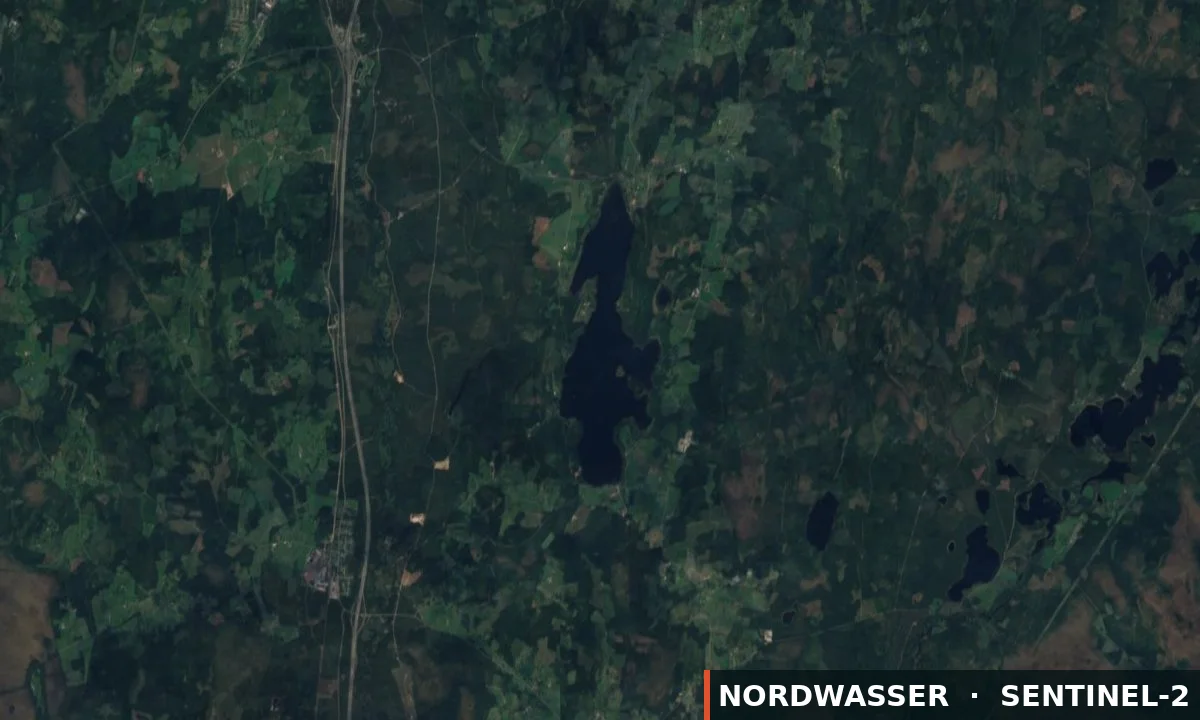
Linnesjön (Skillingaryd) is a fishing area in Jönköpings län. Its verified source description, position and current rules link directly to iFiske.

57.377° N · 14.160° E
Official information & permit Google Maps Depth map (Genesis)
Water type
Lake
Permit
Local fishing permit
Price from
100,00 SEK
Boat
Boat included or nearby
km²
2.96
Rules & closed seasons

Rules & closed seasons

⚠️ Key rules at a glance
  • From April 1 to May 15 it is prohibited to fish for walleye.
  • Walleye size may be fished within 45-75 cm. 2 zander and two pike per license, valid time card. 5 pieces per license angel at ice. 2 rod per man in the boat = 2 rod per card.
Show all rules

Linnesjöns FVO (Skillingaryd) Fishing license terms day, week, or one year ticket. Time to time. The card is personal. The angler is obliged to keep themselves informed about the rules that apply. At inaccuracies withdrawn an inspection fee 500 sek as a fishing association has decided, in charge of fisherman. Checks are made continuously. Under 15 free fishing. Nets and crayfish are not included. Crayfish only for fishing rights holders and residents of the holders of this right. Walleye size may be fished within 45-75 cm. 2 zander and two pike per license, valid time card. 5 pieces per license angel at ice. 2 rod per man in the boat = 2 rod per card. From April 1 to May 15 it is prohibited to fish for walleye.

Checked: 03.09.2026 · Source: iFiske

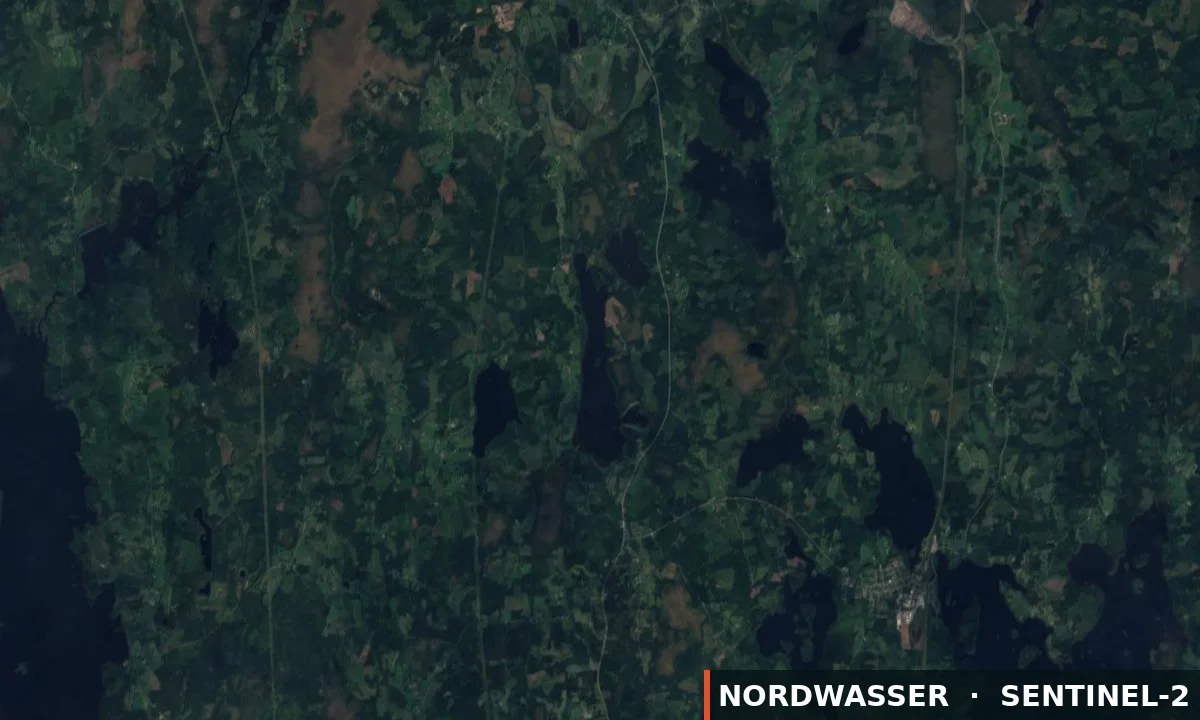
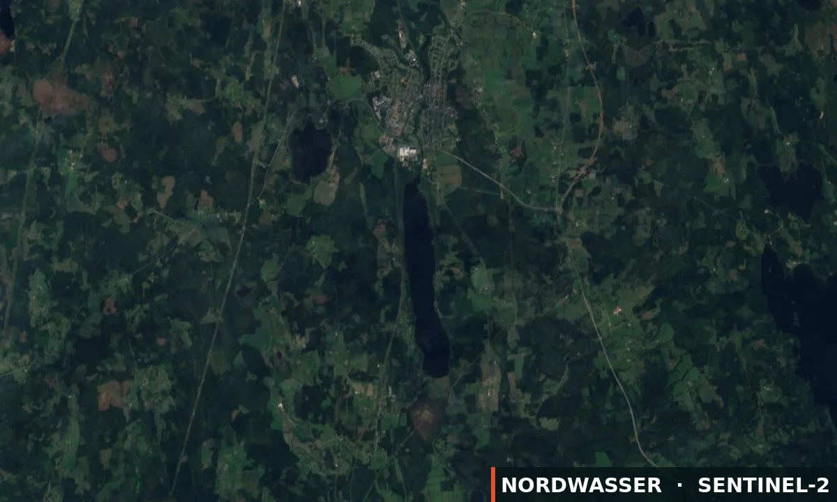
MapLinnesjön (Skillingaryd)
The map position is for orientation. The official source defines binding boundaries.
Source

Stays & fishing services near Linnesjön (Skillingaryd)

Links lead to the published source or directly to the provider. Availability is confirmed only after travel dates are selected.

OpenStreetMap

Gammalt läger 1

Campsite

⛺ Tents

16,4 km from the water Source checked: 05.09.2026

This place is recorded in the linked geodata source. Check opening and overnight rules before travelling.

Open source data
Visit Sweden

Kylås Vildmarksby

Holiday home or accommodation

⚓ Confirm the boat option with the provider

🎣 Angling on site🎣 Boat rental🎣 Waterfront
SaunaWi-FiPets allowed
16,5 km from the water Source checked: 31.08.2026

Nordwasser has no live availability. Check dates and the final price on the official website.

Open official website
OpenStreetMap

Kittlakull

Campsite

⛺ Tents

16,6 km from the water Source checked: 05.09.2026

This place is recorded in the linked geodata source. Check opening and overnight rules before travelling.

Open source data
OpenStreetMap

Gammalt läger 4

Campsite

⛺ Tents

16,6 km from the water Source checked: 05.09.2026

This place is recorded in the linked geodata source. Check opening and overnight rules before travelling.

Open source data
OpenStreetMap

Gammalt läger 2

Campsite

⛺ Tents

16,7 km from the water Source checked: 05.09.2026

This place is recorded in the linked geodata source. Check opening and overnight rules before travelling.

Open source data
OpenStreetMap

Kullen

Campsite

⛺ Tents

16,7 km from the water Source checked: 05.09.2026

This place is recorded in the linked geodata source. Check opening and overnight rules before travelling.

Open source data
OpenStreetMap

Gammalt läger 3

Campsite

⛺ Tents

16,8 km from the water Source checked: 05.09.2026

This place is recorded in the linked geodata source. Check opening and overnight rules before travelling.

Open source data
OpenStreetMap

Camping

Campsite

⛺ Tents

17,0 km from the water Source checked: 05.09.2026

This place is recorded in the linked geodata source. Check opening and overnight rules before travelling.

Open source data
OpenStreetMap

Camping

Campsite

⛺ Tents

17,7 km from the water Source checked: 05.09.2026

This place is recorded in the linked geodata source. Check opening and overnight rules before travelling.

Open source data
OpenStreetMap

Ställplats Hillerstorp Hamn

Motorhome and caravan site

⛺ Caravans · Motorhomes

17,9 km from the water Source checked: 05.09.2026

This place is recorded in the linked geodata source. Check opening and overnight rules before travelling.

Open source data
OpenStreetMap

Camping

Campsite

⛺ Tents

18,0 km from the water Source checked: 05.09.2026

This place is recorded in the linked geodata source. Check opening and overnight rules before travelling.

Open source data
OpenStreetMap

Camping

Campsite

⛺ Tents

18,0 km from the water Source checked: 05.09.2026

This place is recorded in the linked geodata source. Check opening and overnight rules before travelling.

Open source data
Description from the source
Show the full source description

Linnesjön is a humic lake located in Vaggeryd municipality 6 km south-east of the Skillingaryd urban area. Linnesjön forms part of the Lagan water system, the lake's area is 296 ha, average depth 4,5-5 metres, length 4,2 km, greatest width 1,2 km and deepest point 13 metres. Morphologically, Linnesjön is located just south of the South Swedish highlands and within the distribution area of Vaggeryd syenite; therefore, no liming directly in the lake has ever needed to be undertaken. Free fishing for children and young people up to and including the age of 14. Permit and boat booking The association works for sustainable fishing for our and future generations.

Source: iFiske
Getting there

Getting there

Check route, ferry and the last leg together before departure.

Learn more

More waters in the region

Linnesjön (Skillingaryd)

Experiences at the water

No approved experiences yet.

Send for review

Nordwasser

My trip plan

No waters saved yet.