Jönköpings län · Sweden

Tenhultasjön

Tenhultasjön is a fishing area in Jönköpings län. Its verified source description, position and current rules link directly to iFiske.

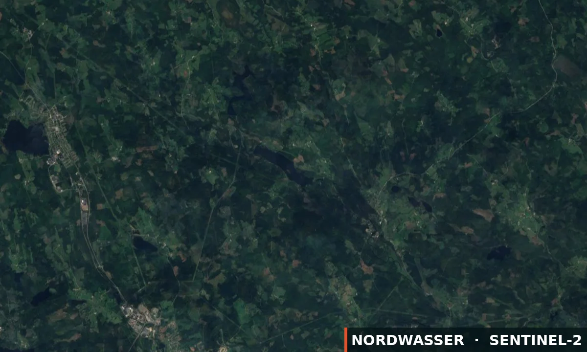
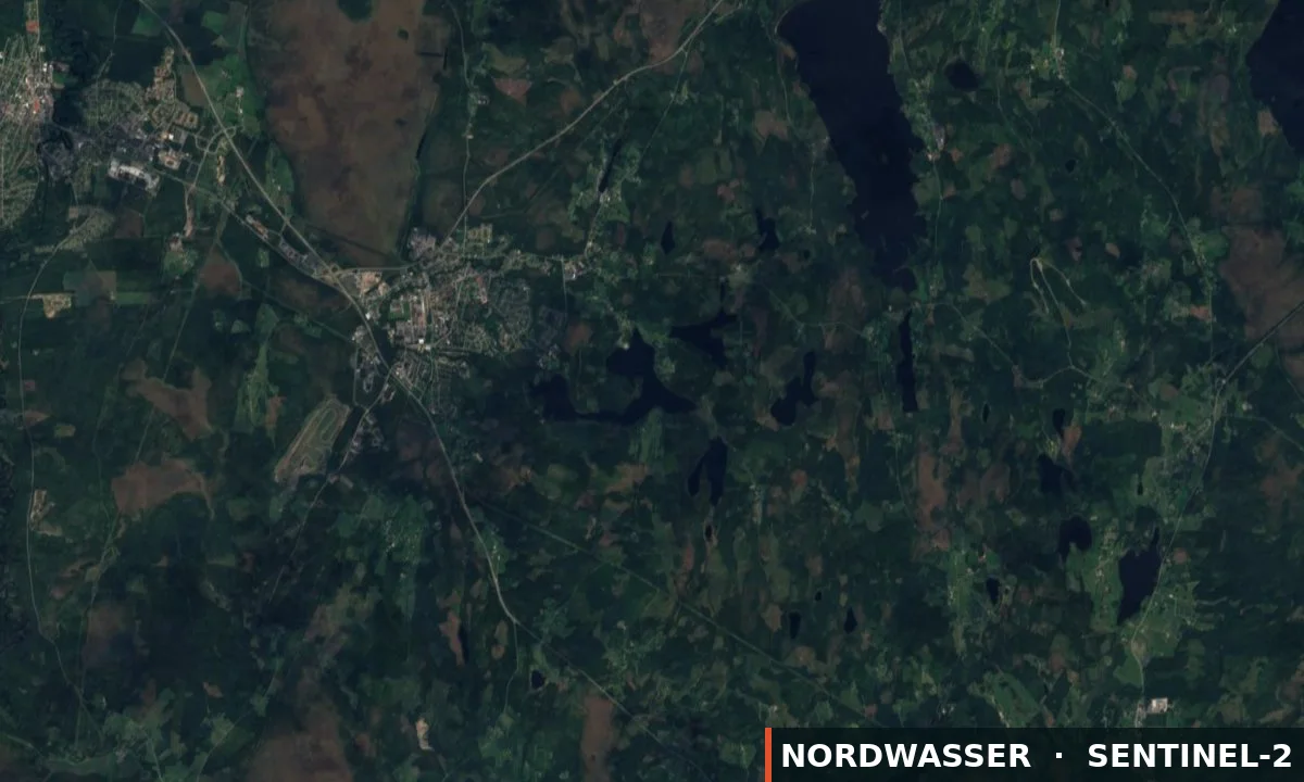
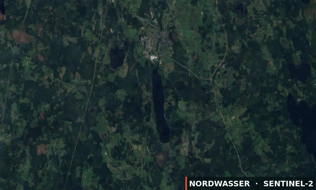
57.691° N · 14.343° E
Official information & permit Google Maps Depth map (Genesis)
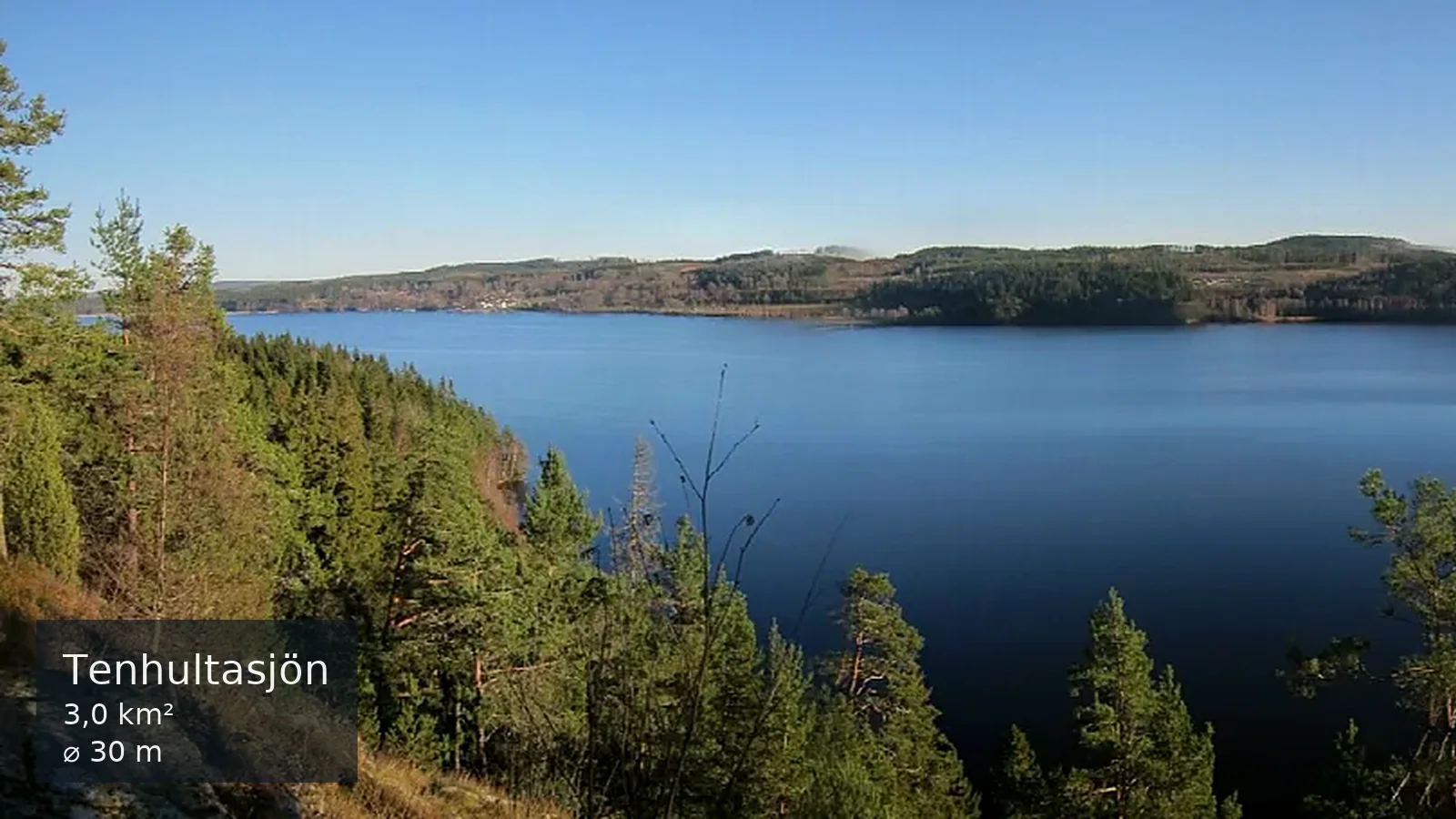
Tenhultasjön
Source: Moralist · Wikimedia Commons · CC BY-SA 4.0 · resized · Nordwasser watermark
Water type
Lake
Permit
Local fishing permit
Price from
100,00 SEK
Boat
No confirmed boat option
km²
2.99
Rules & closed seasons

Rules & closed seasons

⚠️ Key rules at a glance
  • Pike perch under 45cm and over 70cm may not be caught. 2 pike perch per fishing location and day may be caught.
Show all rules

Tenhultasjöns FVO - Bestämmelser för sjön NOTE!!! During August there is a fishing ban for the public Fishing activities: Conditions for granting fishing rights in the lake The public has the right to fish with hand gear with a valid fishing license. A fishing license or fishing permit must be carried by everyone who fishes in the lake. Fishing licenses that will be sold are annual and daily licenses. The fishing license is only valid for fishing with 2 hand tools and two baits per card. Hand tools include fly rods, reel rods, spinning rods, fishing rods, drag lines, ice rods, 10 fishing rods or ice fishing rods. Net fishing and crayfish fishing are not included. Young people under 16 fish for free! Fishing ban for the public during the month of August. Pike perch under 45cm and over 70cm may not be caught. 2 pike perch per fishing location and day may be caught. Zander may not be fished during the month of May. Tenhultasjöns FVO is a management organization in which the owners of fishing waters in Tenhultasjön are members.

Checked: 23.08.2026 · Source: iFiske

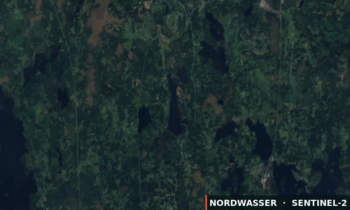
MapTenhultasjön
The map position is for orientation. The official source defines binding boundaries.
Source

Stays & fishing services near Tenhultasjön

Links lead to the published source or directly to the provider. Availability is confirmed only after travel dates are selected.

OpenStreetMap

Camping

Campsite

⛺ Tents

16,5 km from the water Source checked: 05.09.2026

This place is recorded in the linked geodata source. Check opening and overnight rules before travelling.

Open source data
OpenStreetMap

Camping

Campsite

⛺ Tents

17,1 km from the water Source checked: 05.09.2026

This place is recorded in the linked geodata source. Check opening and overnight rules before travelling.

Open source data
OpenStreetMap

Camping

Campsite

⛺ Tents

17,4 km from the water Source checked: 05.09.2026

This place is recorded in the linked geodata source. Check opening and overnight rules before travelling.

Open source data
OpenStreetMap

Camping

Campsite

⛺ Tents

17,6 km from the water Source checked: 05.09.2026

This place is recorded in the linked geodata source. Check opening and overnight rules before travelling.

Open source data
OpenStreetMap

Camping

Campsite

⛺ Tents

17,8 km from the water Source checked: 05.09.2026

This place is recorded in the linked geodata source. Check opening and overnight rules before travelling.

Open source data
OpenStreetMap

Fjällstorp

Campsite

⛺ Tents

18,2 km from the water Source checked: 05.09.2026

This place is recorded in the linked geodata source. Check opening and overnight rules before travelling.

Open source data
osterskog.se

Hoks Naturcamping

Campsite

⛺ Tents · Caravans

🎣 Jetty/slipway
Power hookupShowerToilet
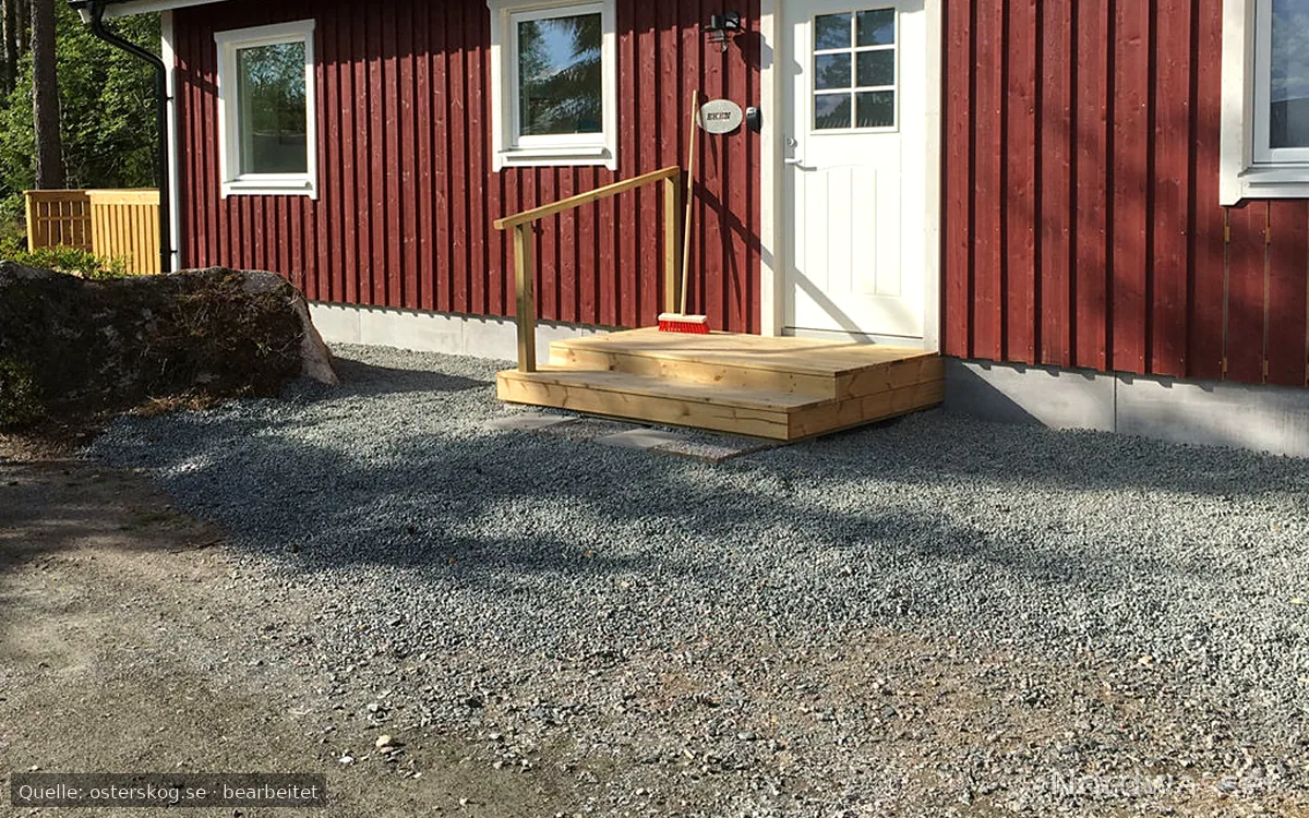
18,5 km from the water Source checked: 05.09.2026

Nordwasser has no live availability. Check dates and the final price on the official website.

Open official website
OpenStreetMap

Camping

Campsite

⛺ Tents

18,6 km from the water Source checked: 05.09.2026

This place is recorded in the linked geodata source. Check opening and overnight rules before travelling.

Open source data
OpenStreetMap

Camping

Campsite

⛺ Tents

18,6 km from the water Source checked: 05.09.2026

This place is recorded in the linked geodata source. Check opening and overnight rules before travelling.

Open source data
OpenStreetMap

Camping

Campsite

⛺ Tents

19,0 km from the water Source checked: 05.09.2026

This place is recorded in the linked geodata source. Check opening and overnight rules before travelling.

Open source data
axamostrand.se

Axamo camping

Campsite

⛺ Tents · Caravans

ShowerToilet
19,3 km from the water Source checked: 05.09.2026

Nordwasser has no live availability. Check dates and the final price on the official website.

Open official website
Stugknuten

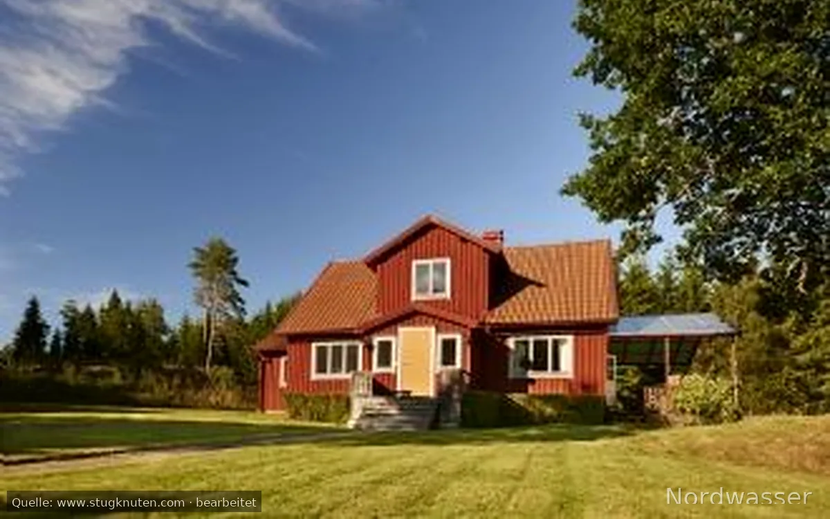
Härligt hus vid sjö

Holiday home or accommodation · ★ 10.0/10 (3)

⚓ Boat rental nearby

🎣 Boat rental🎣 Angling on site
Wi-FiPets allowedSwimmingSaunaShowerToilet

from 2.820 SEK/day

21,3 km from the water Source checked: 21.07.2026

Nordwasser has no live availability. Check dates and the final price on the official website.

Open official website
Description from the source
Show the full source description

Tenhultasjön is part of the Huskvarnaån water system, the Femtingaån sub-catchment area, and is located just south-east of the community of Tenhult. The elevation above sea level is 213,7 metres, that is approximately 1 metre above and with a river stretch of 3 km to Stensjön. Tenhultasjön is a so-called oligotrophic lake with an area of 2,99 km2 and a maximum depth of 30 m. Free fishing for children and young people up to and including the age of 15 years. Tenhultasjön FVO's objective is to: Fisheries management measures are:

Source: iFiske
Getting there

Getting there

Check route, ferry and the last leg together before departure.

Learn more

More waters in the region

Tenhultasjön

Experiences at the water

No approved experiences yet.

Send for review

Nordwasser

My trip plan

No waters saved yet.