Västerbottens län · Sweden

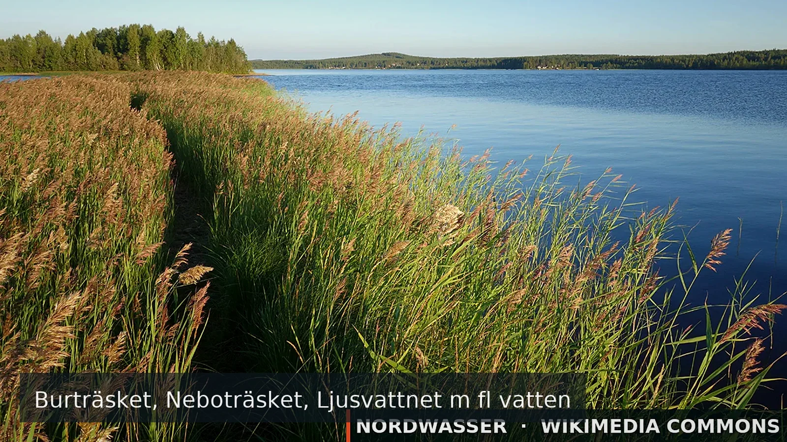
Burträsket, Neboträsket, Ljusvattnet m fl vatten

Burträsket, Neboträsket, Ljusvattnet m fl vatten is a fishing area in Västerbottens län. Its verified source description, position and current rules link directly to iFiske.

64.514° N · 20.696° E
Official information & permit Google Maps Depth map (Genesis)
Burträsket, Neboträsket, Ljusvattnet m fl vatten
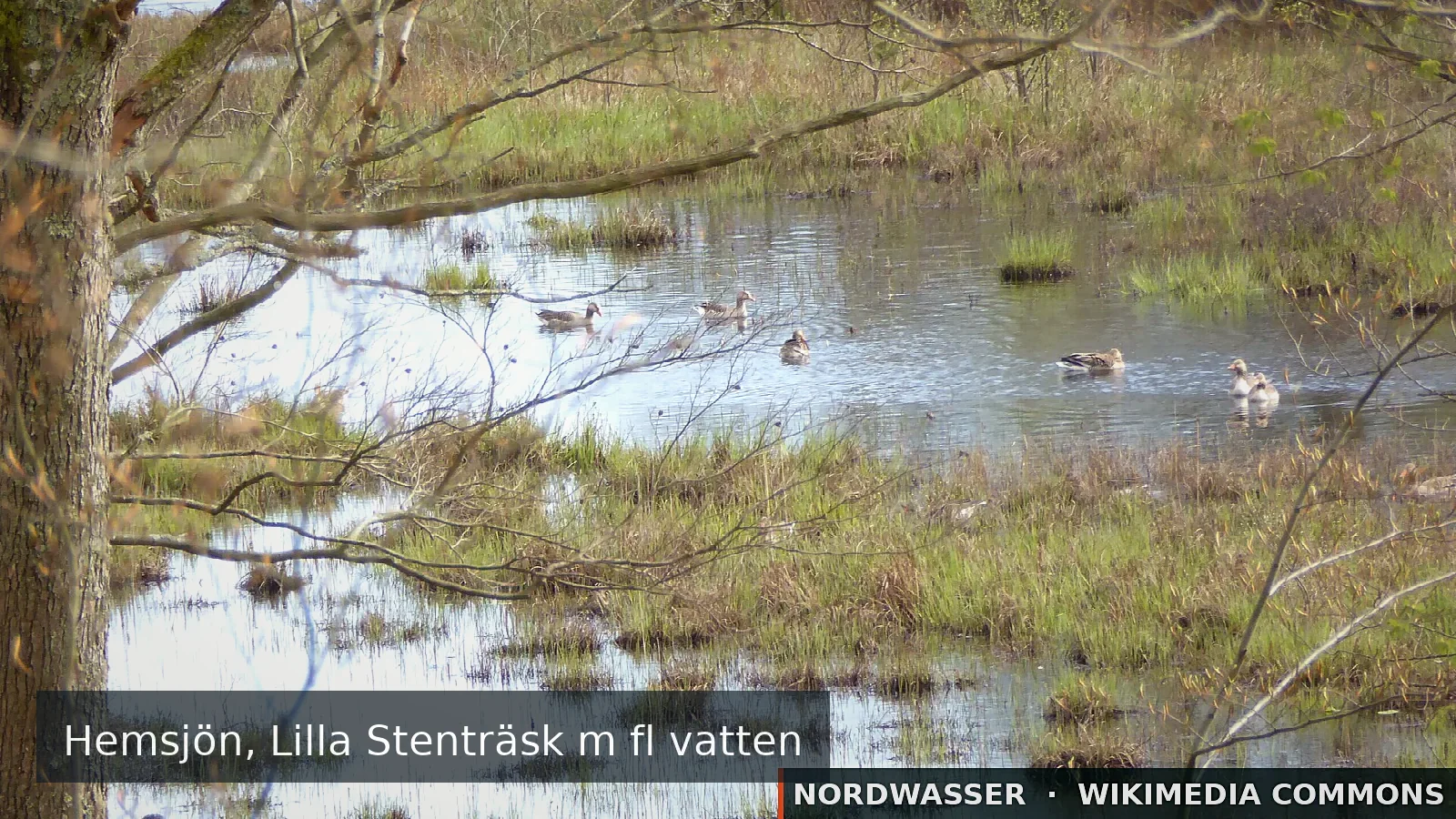
Source: Skogsfrun · Wikimedia Commons · CC BY-SA 4.0 · resized · Nordwasser watermark
Water type
River
Permit
Local fishing permit
Price from
60,00 SEK
Boat
No confirmed boat option
Rules & closed seasons

Rules & closed seasons

⚠️ Key rules at a glance
  • Window socket. 0-45cm and 55cm and up must be unconditionally released.
Show all rules

Bureälvens Övre FVO Pike a maximum of 20 fish per year and person. Window socket. 0-45cm and 55cm and up must be unconditionally released. No rules on pike and perch, but we recommend that large fish be released.

Checked: 29.08.2026 · Source: iFiske

MapBurträsket, Neboträsket, Ljusvattnet m fl vatten
The map position is for orientation. The official source defines binding boundaries.
Source

Stays & fishing services near Burträsket, Neboträsket, Ljusvattnet m fl vatten

Links lead to the published source or directly to the provider. Availability is confirmed only after travel dates are selected.

OpenStreetMap

Burträsk Camping

Campsite

⛺ Tents · Caravans

Power hookupShower
1,4 km from the water Source checked: 05.09.2026

This place is recorded in the linked geodata source. Check opening and overnight rules before travelling.

Open source data
OpenStreetMap

Wohnmobil-Stellplatz

Motorhome and caravan site

⛺ Caravans · Motorhomes

24,6 km from the water Source checked: 05.09.2026

This place is recorded in the linked geodata source. Check opening and overnight rules before travelling.

Open source data
OpenStreetMap

Wohnmobil-Stellplatz

Motorhome and caravan site

⛺ Caravans · Motorhomes

25,1 km from the water Source checked: 05.09.2026

This place is recorded in the linked geodata source. Check opening and overnight rules before travelling.

Open source data
OpenStreetMap

Bureå Camping

Campsite

⛺ Tents

⏰ May 01-Oct 31 PH,Mo-Su 00:00-24:00 open

26,0 km from the water Source checked: 05.09.2026

This place is recorded in the linked geodata source. Check opening and overnight rules before travelling.

Open source data
OpenStreetMap

Ljusvattnets Camping

Campsite

⛺ Tents

26,9 km from the water Source checked: 05.09.2026

This place is recorded in the linked geodata source. Check opening and overnight rules before travelling.

Open source data
OpenStreetMap

Wohnmobil-Stellplatz

Motorhome and caravan site

⛺ Caravans · Motorhomes

28,3 km from the water Source checked: 05.09.2026

This place is recorded in the linked geodata source. Check opening and overnight rules before travelling.

Open source data
Description from the source
Show the full source description

Bureälven's water system is one of the few fishing waters in Västerbotten where zander occur in relatively abundant quantities, and reach known weights of over 6 kg. Other species interesting for sport fishing are pike, perch, bream as well as roach, tench and tench. ... Within the area there is one or more accessible fishing waters. For more information, see the fishing area's map where these points are marked or contact Bureälven's Övre FVO. The fisheries management area is 45 km southwest of Skellefteå, the area connects around the upper Bureälven stretch in a northwesterly direction. The fish species that distinguishes the fishing area the most is the strong stock of zander found in Lake Burträsket, Neboträsket, Bodträsket and in directly connecting waters.

Source: iFiske
Getting there

Getting there

Check route, ferry and the last leg together before departure.

Learn more

More waters in the region

Burträsket, Neboträsket, Ljusvattnet m fl vatten

Experiences at the water

No approved experiences yet.

Send for review

Nordwasser

My trip plan

No waters saved yet.