Jämtlands län · Sweden

Svaningssjön, Stråken, Fågelsjön m fl

Svaningssjön, Stråken, Fågelsjön m fl is a fishing area in Jämtlands län. Its verified source description, position and current rules link directly to iFiske.

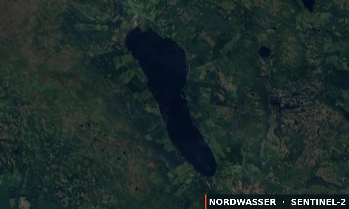
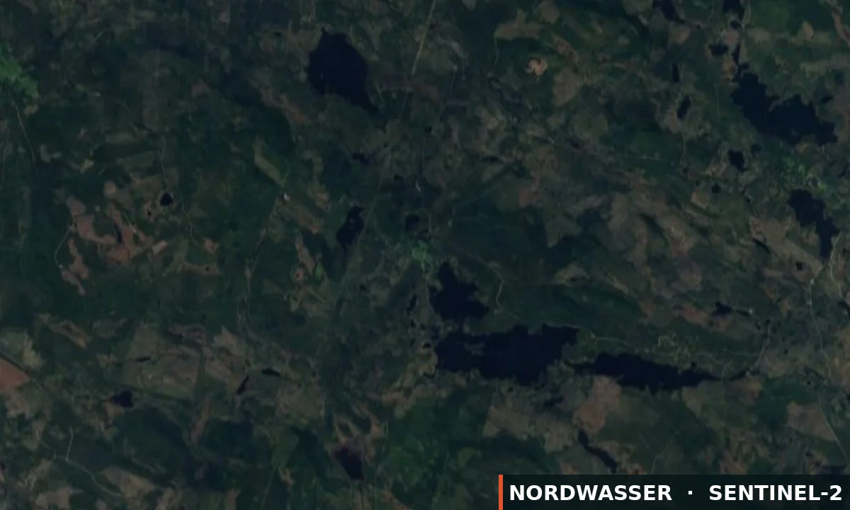
64.303° N · 15.013° E
Official information & permit Google Maps Depth map (Genesis)
Svaningssjön, Stråken, Fågelsjön m fl
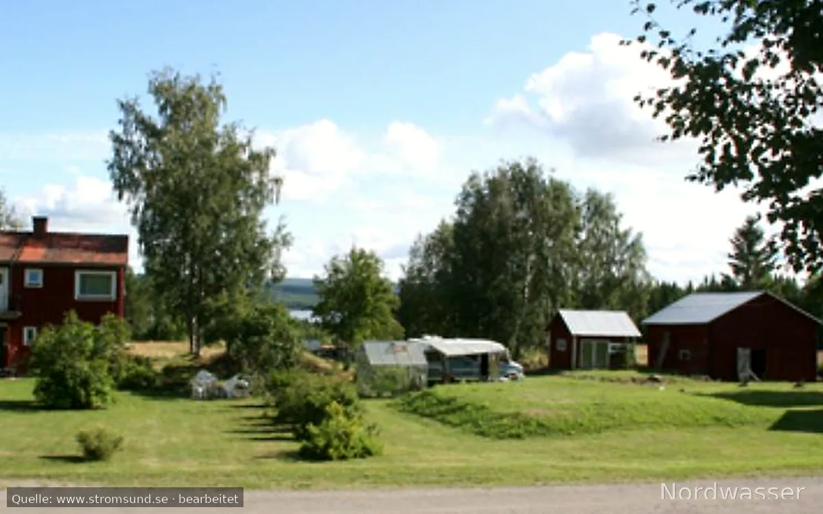
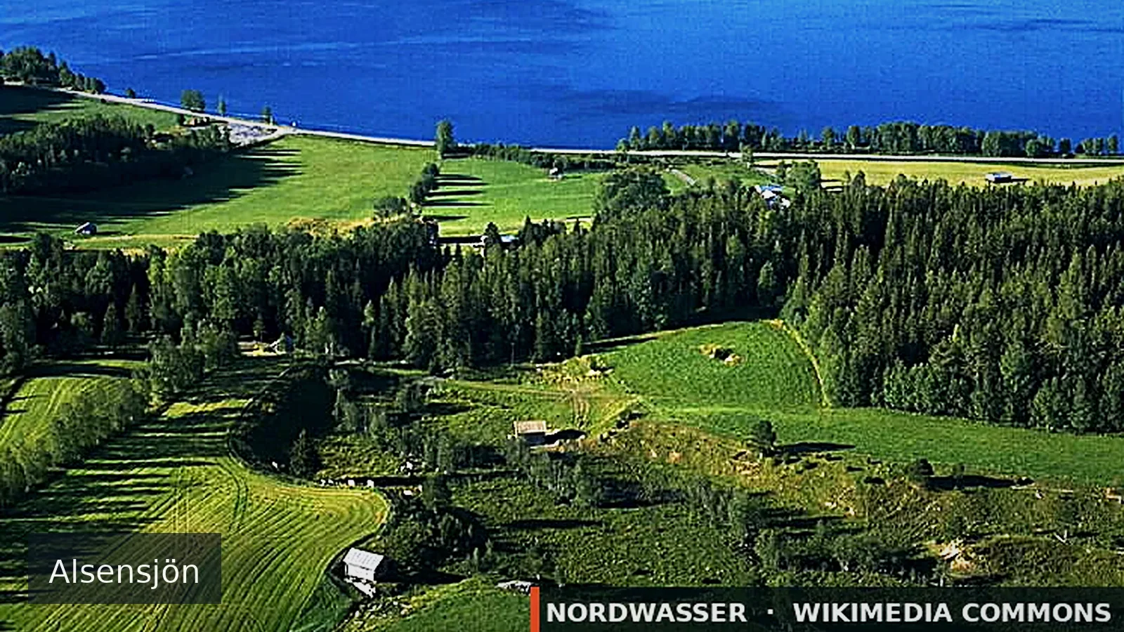
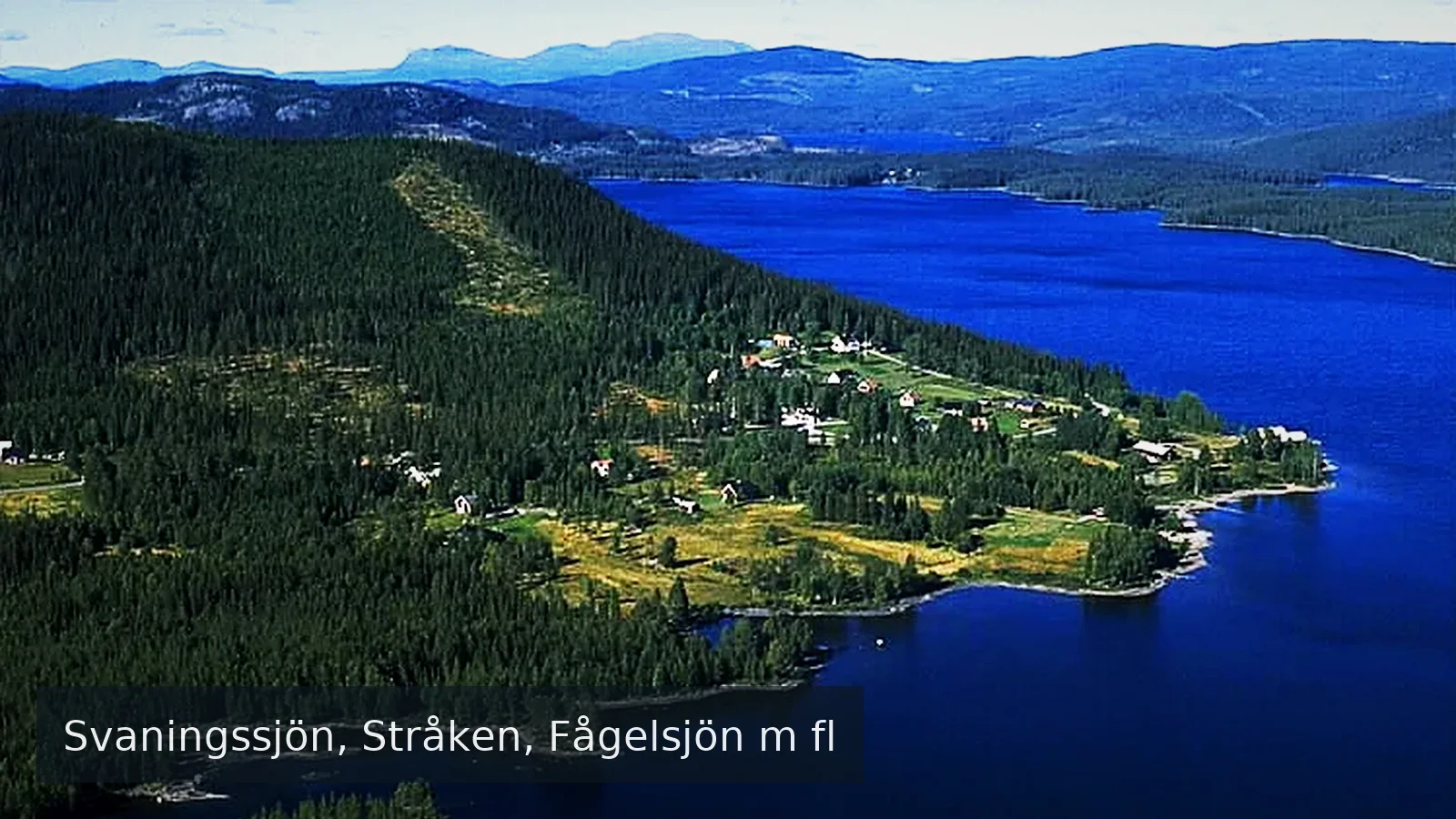
Source: Jan Norrman · Wikimedia Commons · CC BY 2.5 se · resized · Nordwasser watermark
Water type
Lake
Permit
Local fishing permit
Price from
50,00 SEK
Boat
No confirmed boat option
Rules & closed seasons

Rules & closed seasons

⚠️ Key rules at a glance
  • Prohibition of fishing at outlets and inlets according to.
  • Prohibition of fishing in Svaningsån.
  • Prohibition of fishing with live bait fish, longline, otter, stand hook and nets.
  • Övre Vattudalens FVOF Minimum size trout 30cm.
Show all rules

Övre Vattudalens FVOF Minimum size trout 30cm. Prohibition of fishing at outlets and inlets according to. Prohibition of fishing in Svaningsån. Prohibition of fishing with live bait fish, longline, otter, stand hook and nets. Trolling allowed only with trolling cards.

Checked: 22.08.2026 · Source: iFiske

MapSvaningssjön, Stråken, Fågelsjön m fl
The map position is for orientation. The official source defines binding boundaries.
Source

Stays & fishing services near Svaningssjön, Stråken, Fågelsjön m fl

Links lead to the published source or directly to the provider. Availability is confirmed only after travel dates are selected.

OpenStreetMap

Camping Svaningen

Campsite

⛺ Tents · Caravans · Motorhomes

⏰ May-Sep

Power hookupShowerToilet
2,4 km from the water Source checked: 05.09.2026

This place is recorded in the linked geodata source. Check opening and overnight rules before travelling.

Open source data
OpenStreetMap

Storåviken

Motorhome and caravan site

⛺ Caravans · Motorhomes

7,7 km from the water Source checked: 05.09.2026

This place is recorded in the linked geodata source. Check opening and overnight rules before travelling.

Open source data
OpenStreetMap

Kvarntjärnen

Motorhome and caravan site

⛺ Caravans · Motorhomes

8,0 km from the water Source checked: 05.09.2026

This place is recorded in the linked geodata source. Check opening and overnight rules before travelling.

Open source data
OpenStreetMap

Lidsjön

Motorhome and caravan site

⛺ Motorhomes

9,5 km from the water Source checked: 05.09.2026

This place is recorded in the linked geodata source. Check opening and overnight rules before travelling.

Open source data
OpenStreetMap

Bågedeforsen

Campsite

⛺ Caravans · Motorhomes

⏰ 24/7

10,9 km from the water Source checked: 05.09.2026

This place is recorded in the linked geodata source. Check opening and overnight rules before travelling.

Open source data
OpenStreetMap

Mörttjärnen

Motorhome and caravan site

⛺ Caravans · Motorhomes

11,5 km from the water Source checked: 05.09.2026

This place is recorded in the linked geodata source. Check opening and overnight rules before travelling.

Open source data
OpenStreetMap

Bygdvattnet

Motorhome and caravan site

⛺ Caravans · Motorhomes

13,5 km from the water Source checked: 05.09.2026

This place is recorded in the linked geodata source. Check opening and overnight rules before travelling.

Open source data
Visit Sweden

Lillvikens Guest House & Cabins

Holiday home or accommodation

⚓ Confirm the boat option with the provider

23,9 km from the water Source checked: 31.08.2026

Nordwasser has no live availability. Check dates and the final price on the official website.

Open official website
OpenStreetMap

Wohnmobil-Stellplatz

Motorhome and caravan site

⛺ Caravans · Motorhomes

Power hookup
24,3 km from the water Source checked: 05.09.2026

This place is recorded in the linked geodata source. Check opening and overnight rules before travelling.

Open source data
Description from the source
Show the full source description

Övre Vattudalen's fishing conservation area is located approx. 80 km north of Strömsund, along road 342 towards Gäddede.The area offers fishing in the upper part of Ströms Vattudal, the lower part of Fågelsjön and a number of smaller tarns north of Svaningsjön.The area offers fine fishing for trout, char, grayling, perch, pike and whitefish. Rainbow trout also occur. Lower part of Fågelsjön: Trout, char, pike, grayling and whitefishStrocken - Svaningssjön: Trout, char, perch, pike, grayling, whitefish.Biribolltjärnarna: PerchLångtjärnarna: Trout, perchGullötjärnarna:Trout, char, perchStortjärn: PerchGrevetjärnarna: Perch, pikeFisktjärnarna: Trout, charRouteEastern side of Vattudalen, from Strömsund road 342 towards Gäddede approx. 80 km.Western side of Vattudalen, from Strömsund road 339, then road 801, Björnvägen, towards Svaningen and Bågede. Free fishing for children and young people up to and including the age of 17. Must have valid identification with them Övre Vattudalens fishing conservation area was formed in 1997. The purpose of the fishing conservation area is to coordinate fishing and fisheries management, promote the interests of fishing-right holders, sell fishing permits and ensure the migration and reproduction conditions of Bågede trout. The area is also included in the Frostviken permit and the Ströms Vattudal Trolling permit.

Source: iFiske
Getting there

Getting there

Check route, ferry and the last leg together before departure.

Learn more

More waters in the region

Svaningssjön, Stråken, Fågelsjön m fl

Experiences at the water

No approved experiences yet.

Send for review

Nordwasser

My trip plan

No waters saved yet.